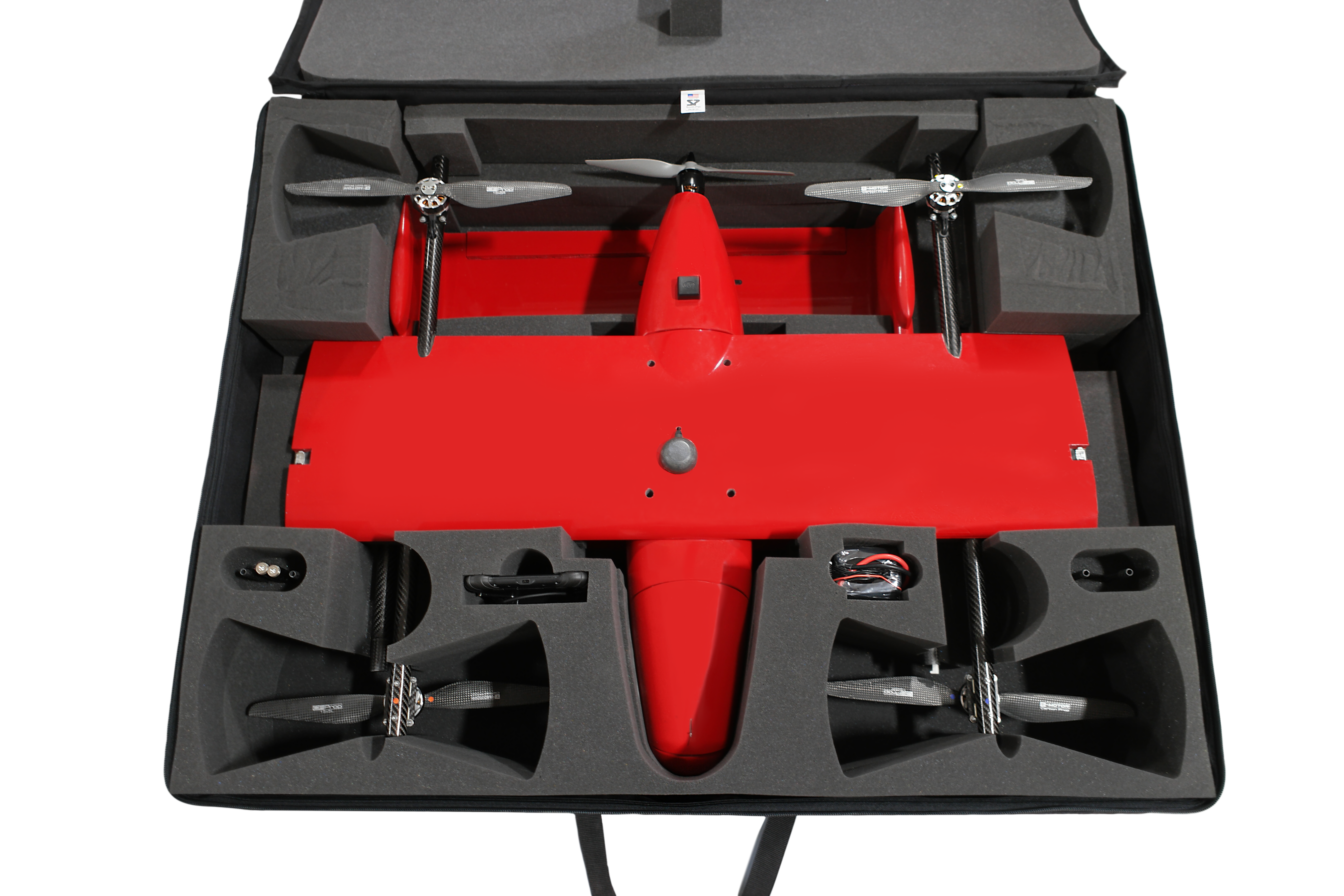
Fixed-Wing VTOL Mapping Drone
The E400
10+ years of surveying expertise,
engineered into one capable platform.
90-Minute Flight Time
54-mile straight-line range per mission
Vertical Takeoff & Landing
No launcher or recovery equipment needed
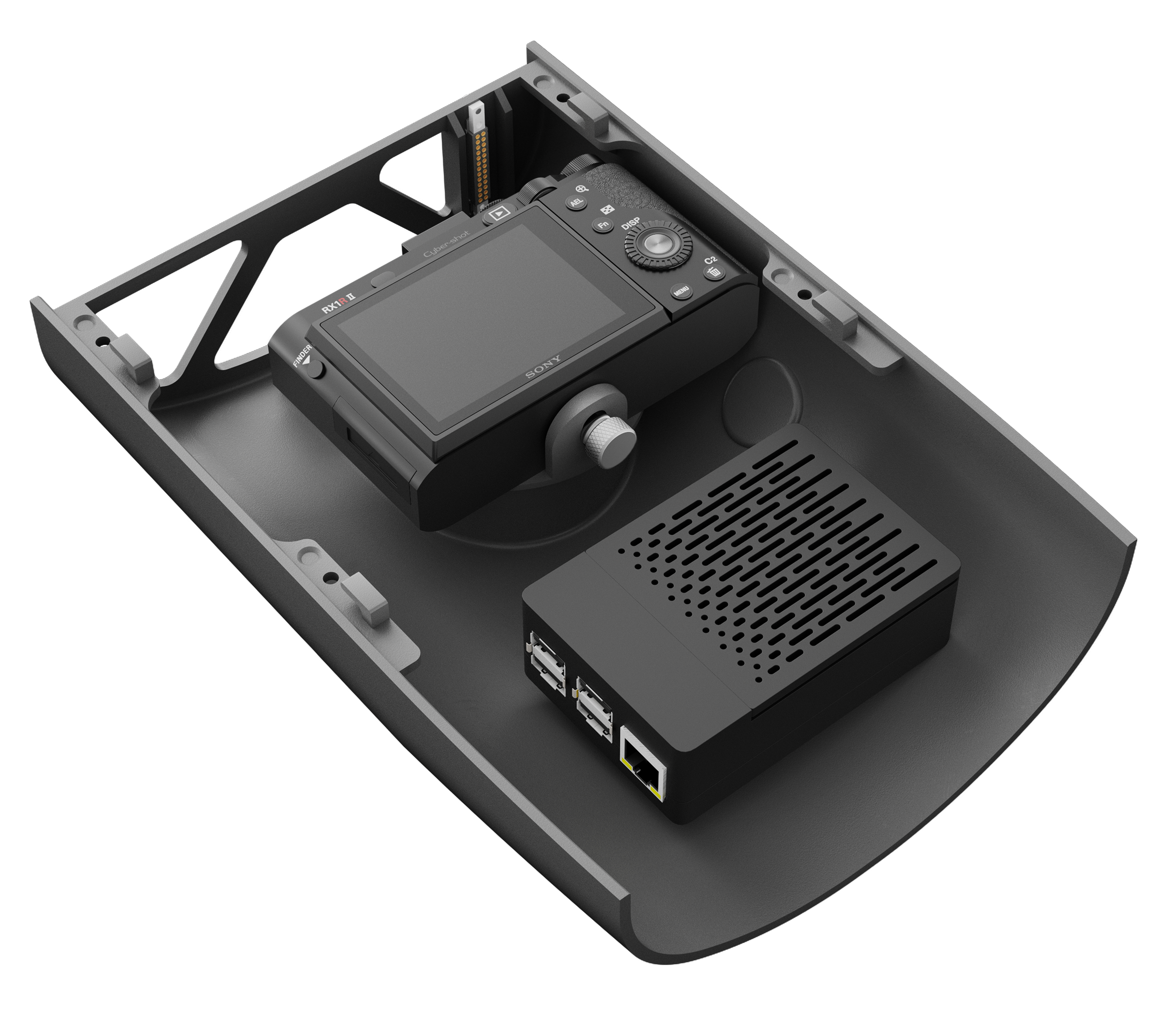
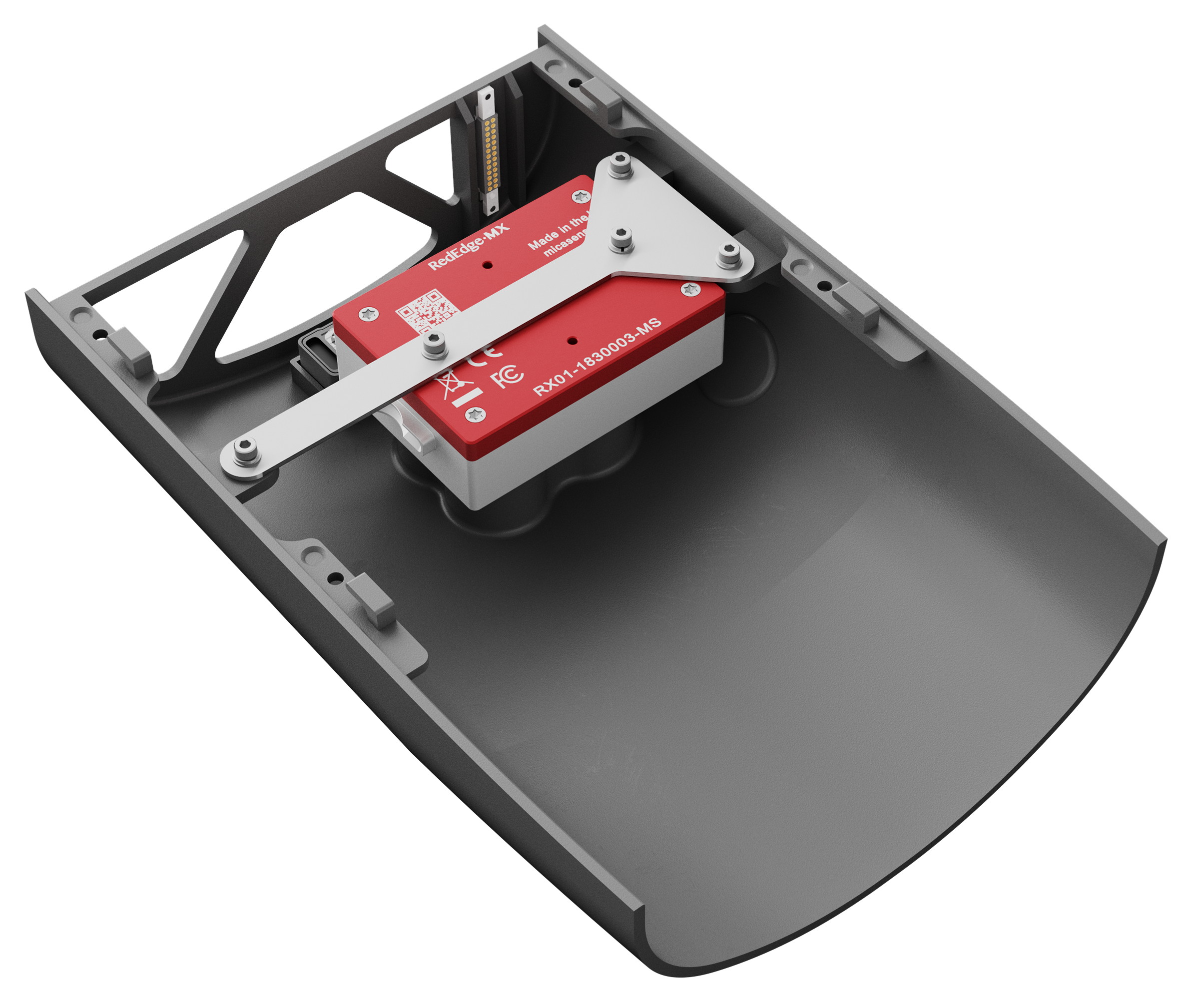
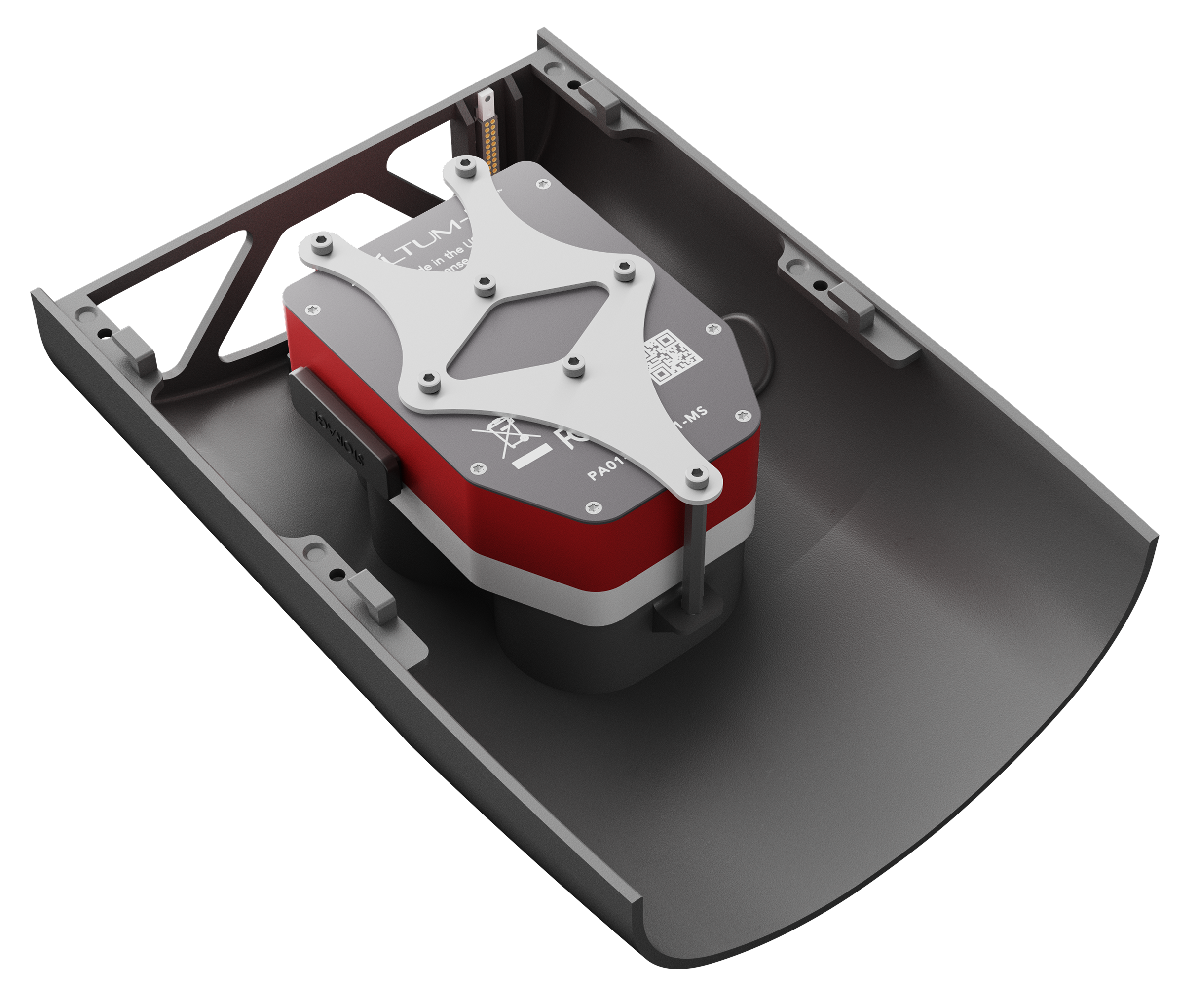
Up to 3 lb Payload Capacity
RGB, Multispectral, Thermal, or EO/IR
16 m/s Cruise Speed
Efficient fixed-wing flight at 36 mph
Made in the USA
Designed & assembled in Richfield, Ohio
E400

CompliantNDAA 848
AirframeCarbon Fiber
OperationFully Automated