Say hello to the
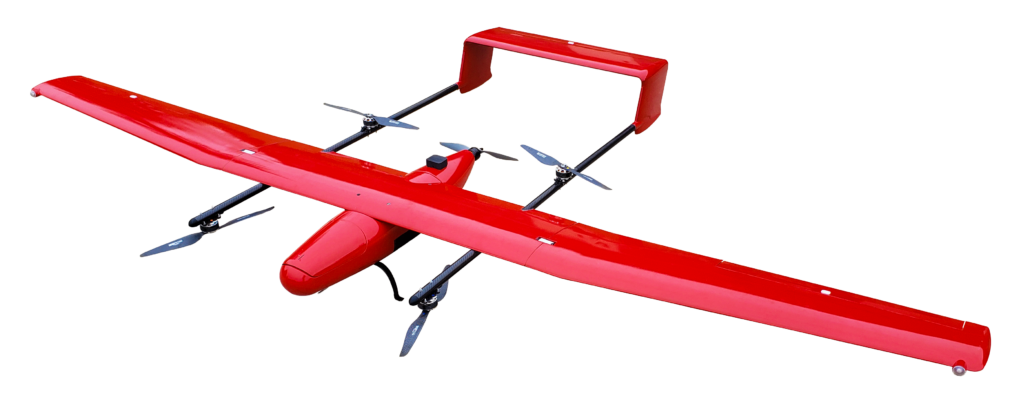
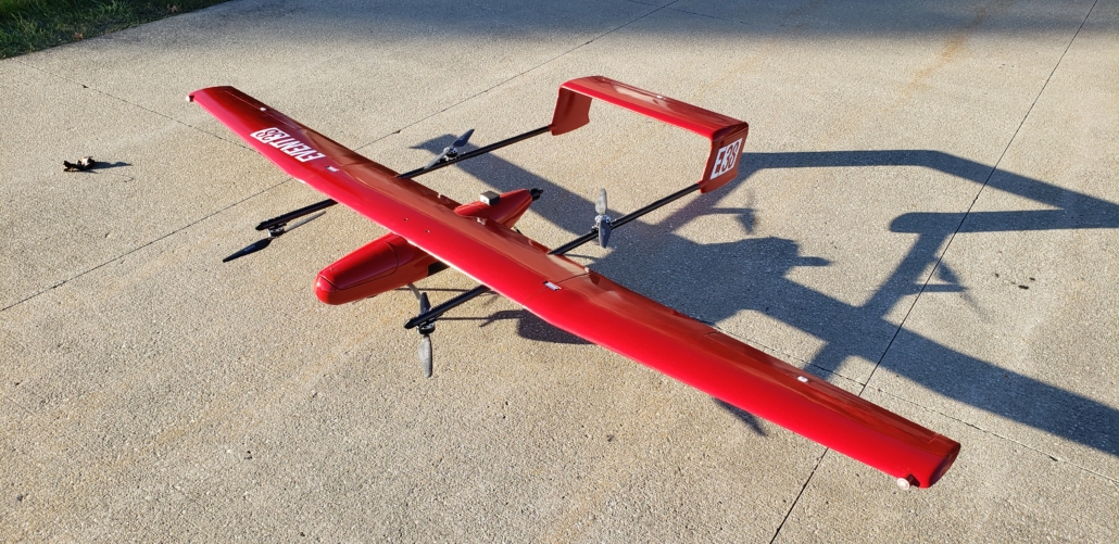
E400 Mapping Drone
Combining vertical takeoff with fixed wing performance, the E400 is the culmination of what Event 38 has learned over 10+ years in the surveying and mapping industry
Vertical Takeoff and Landing (VTOL)
Take off and land anywhere, no extra launch or recovery equipment needed.
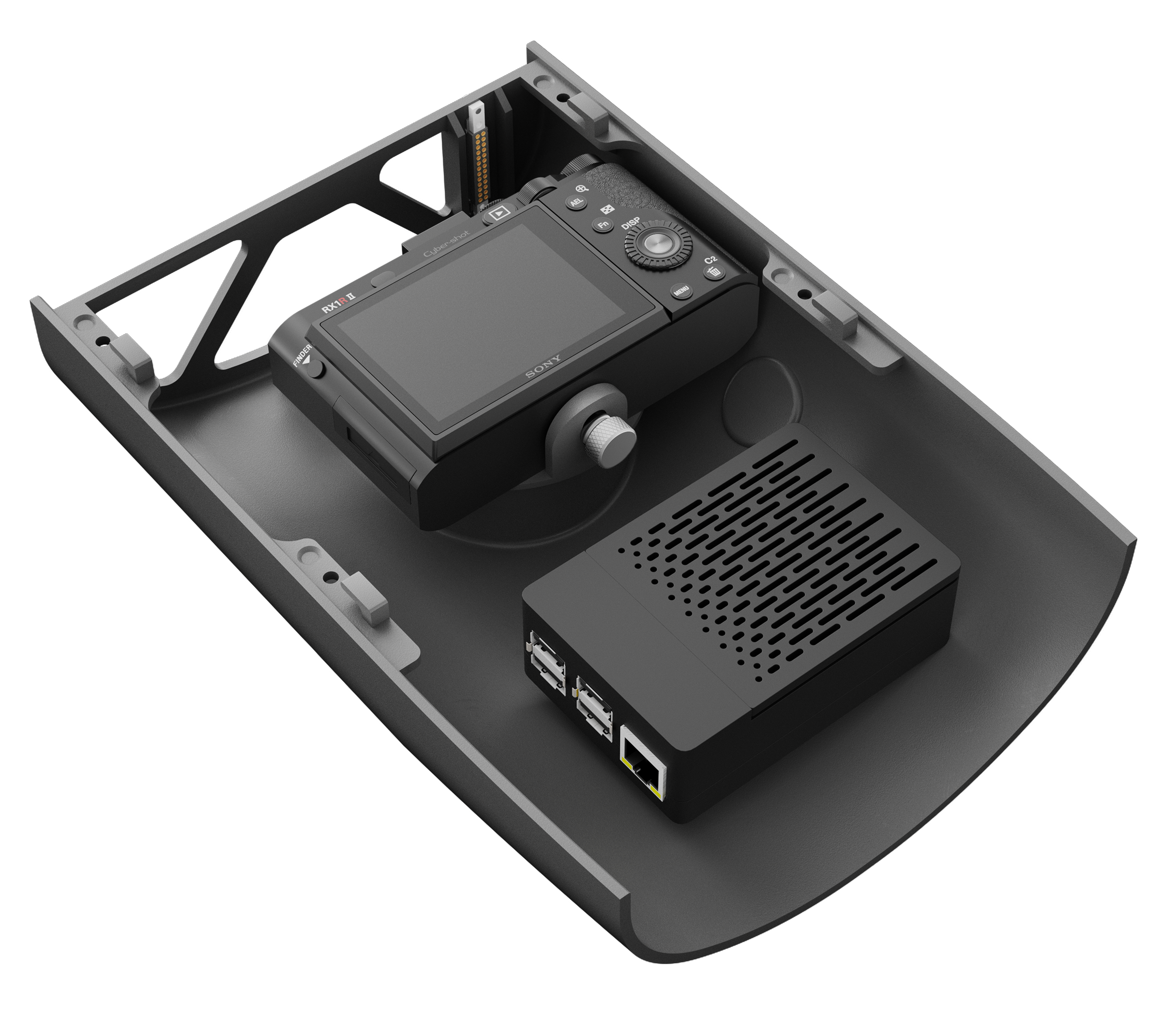
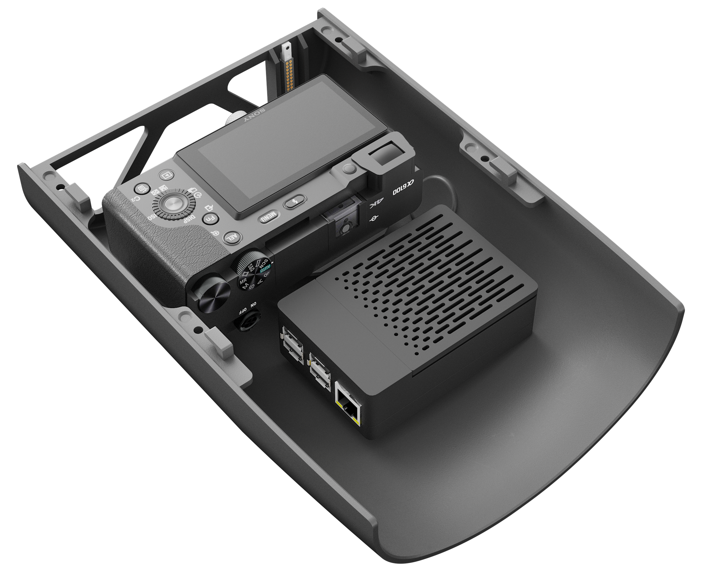
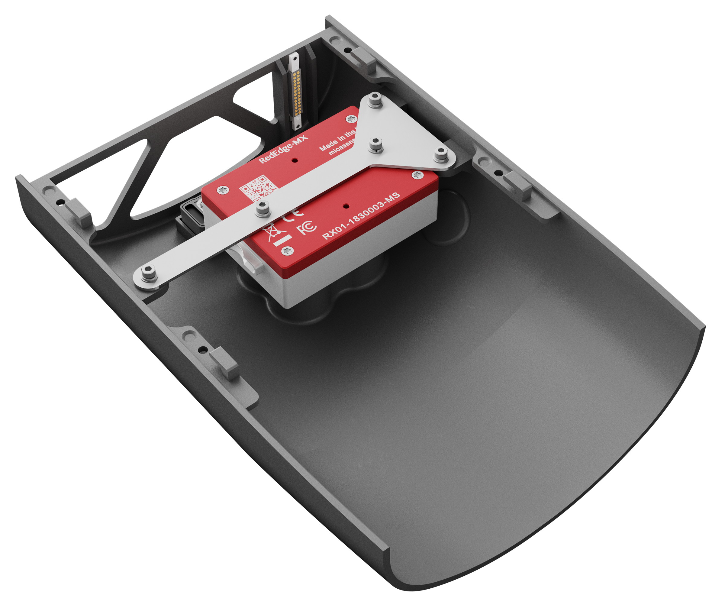
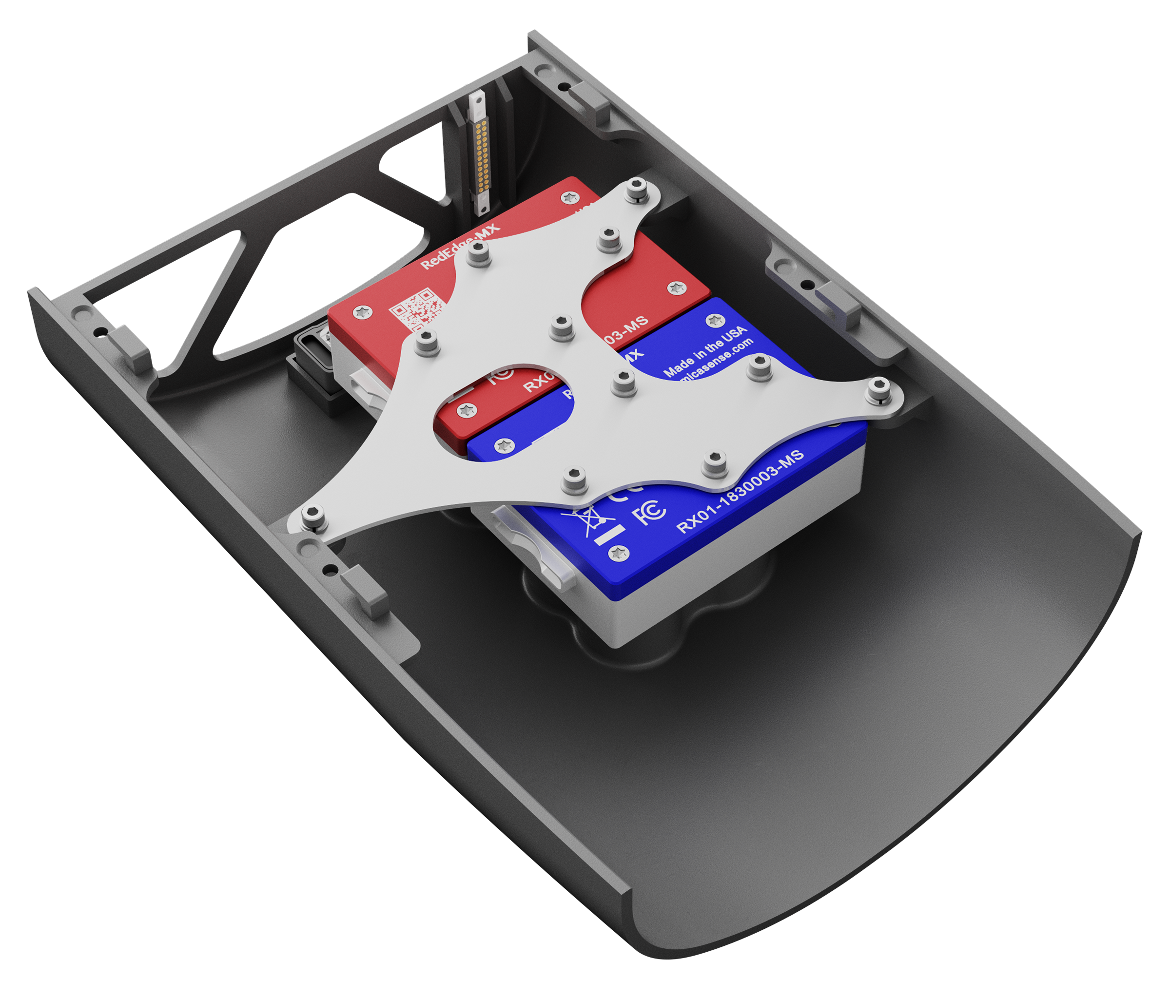
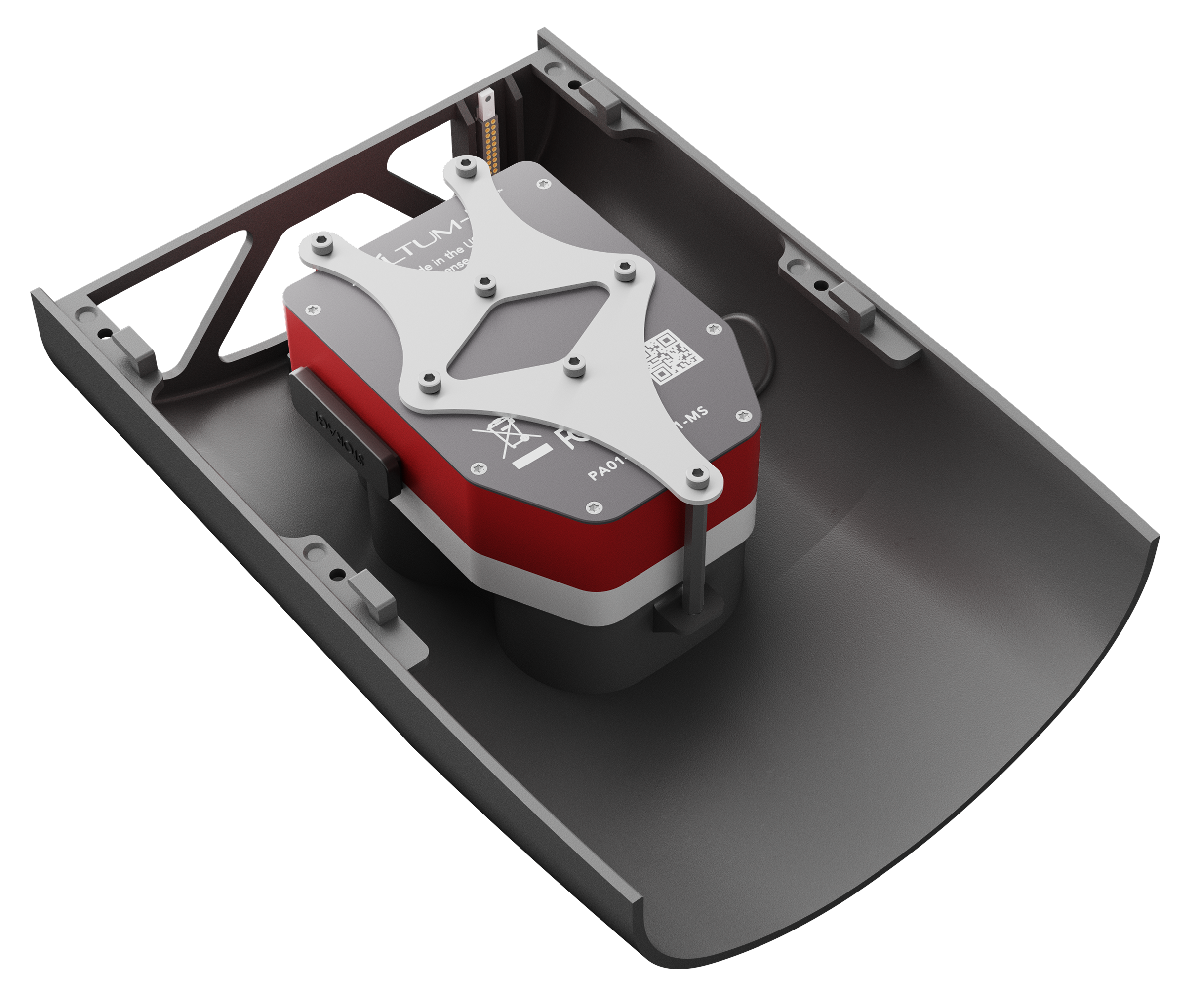
Carry payloads of up to 3lb (1.3kg)
Carry heavier payloads than standard mapping drones or multiple payloads to maximize efficiency. Select from High Resolution RGB, Multispectral, Thermal, or gimbaled EO/IR. Custom payload integrations available.
Efficient fixed-wing flight
Fly at 16 m/s (36 mph) for up to 90 minutes per flight for large coverage.
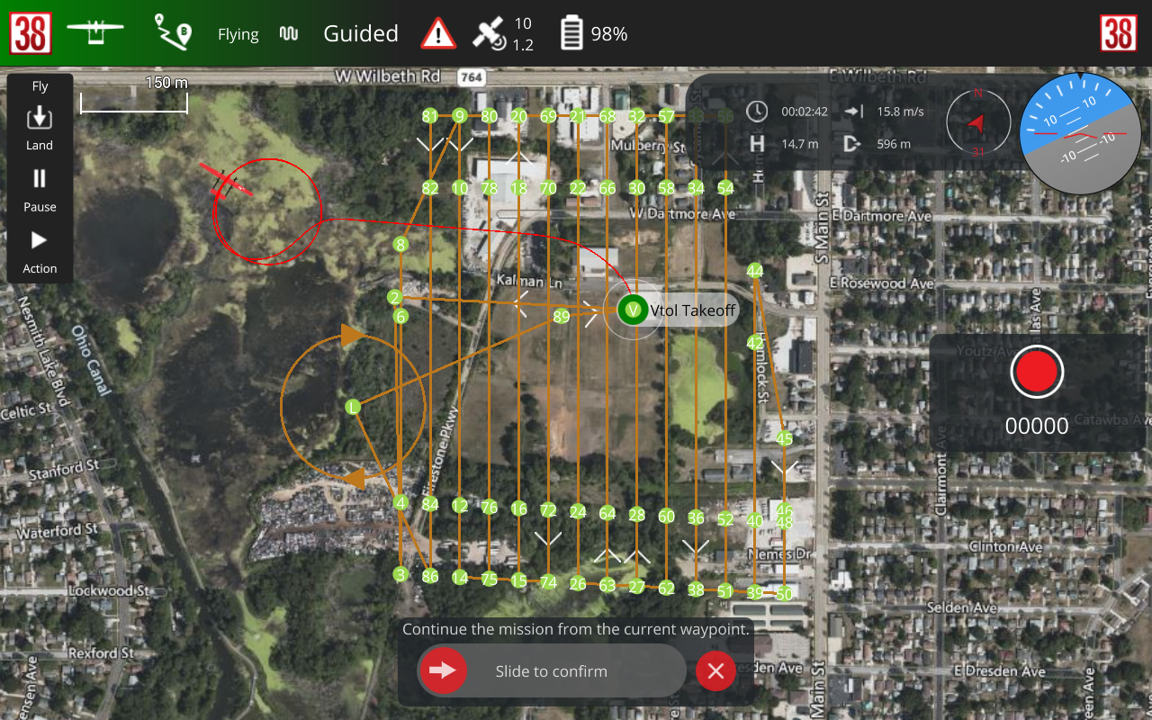
Fully Automated
Plan a mission in our intuitive ground control software (included with purchase) then start flying with the touch of a button.