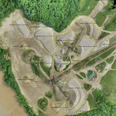
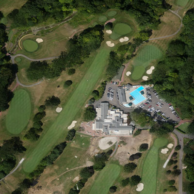
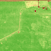
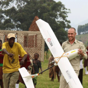
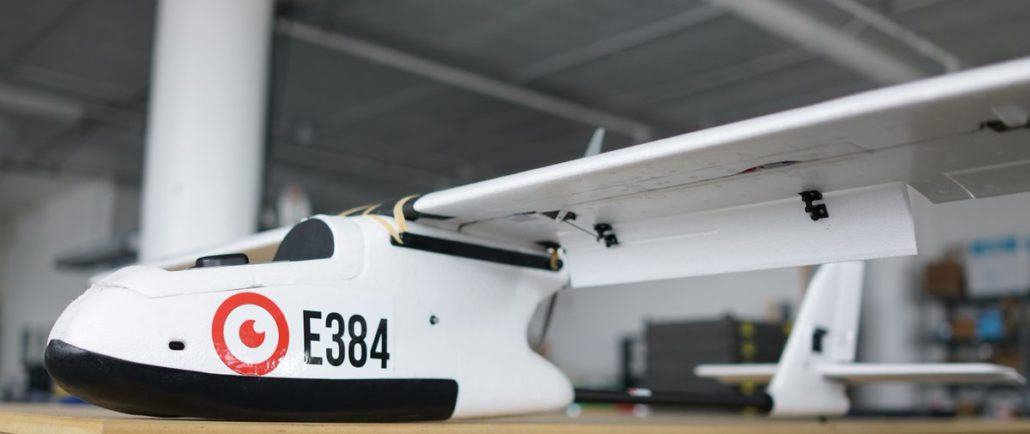
The E384 Mapping Drone
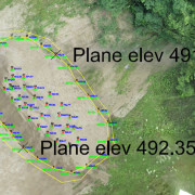
The E384 has been one of the leading drones in the world for used for Engineering, Agriculture, Surveying and Conservation since 2014. The E384 has been proven through thousands of hours of flight from hot and humid jungles to freezing mountains above 13,000 feet. The E384 can cover 41 miles in 100 minutes completely autonomously.
Due to its low cost in high volume production, the E384 is also an affordable target drone or otherwise attritable platform. The package is customizable depending on your application. If you’re not sure what you need, contact us and we’ll walk you through the options and special considerations for your project. The E384 can be made NDAA compliant.