Industries — Drone Applications
Emergency
Systems
Assess · Locate · Respond
From disaster response to wildfire fighting, fixed-wing drones deliver the aerial intelligence first responders need — safely, affordably, and on demand.
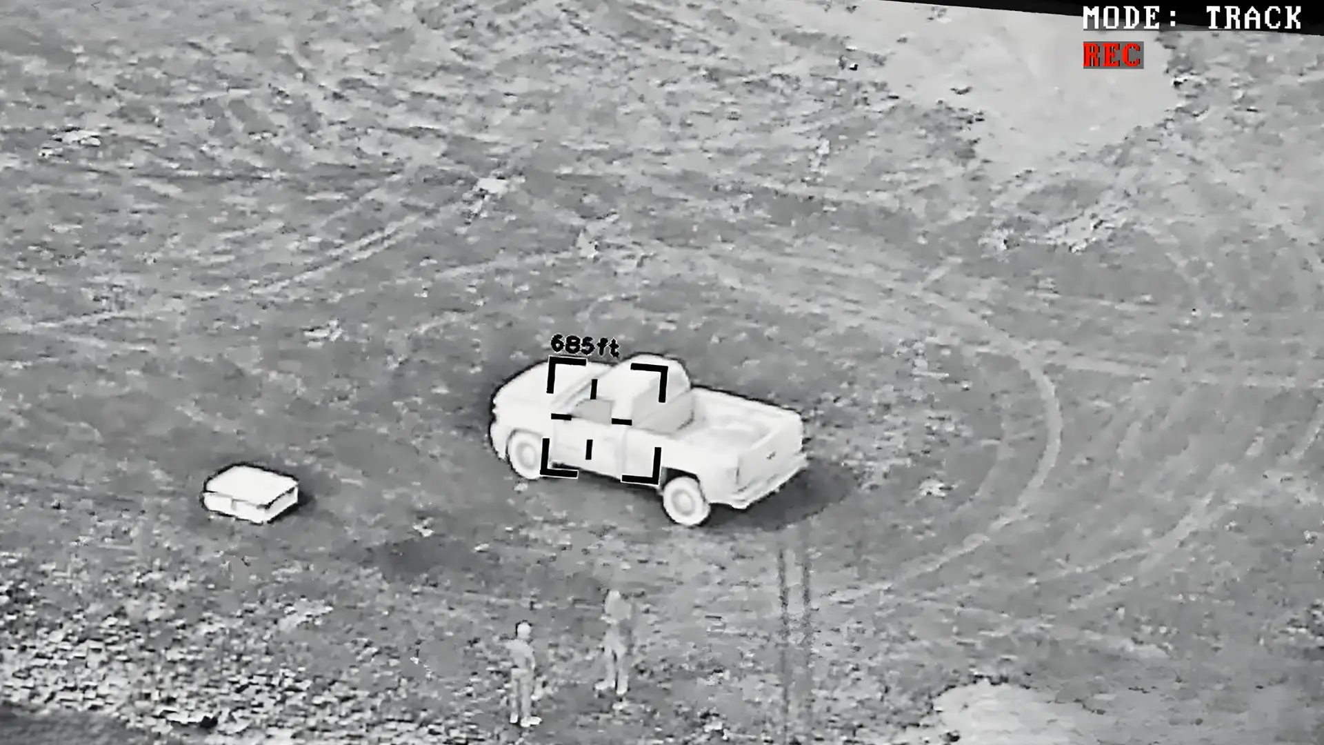
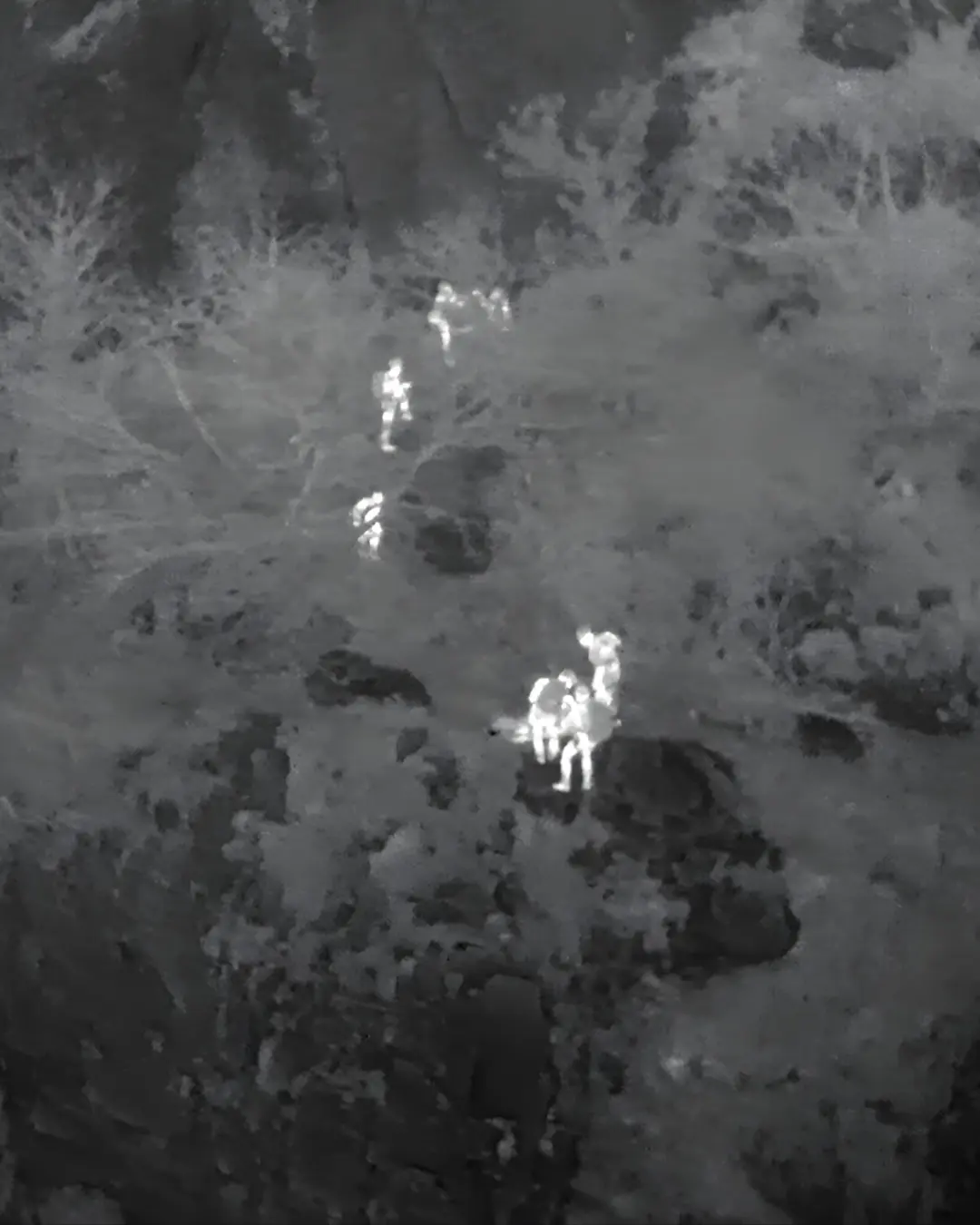
Geo-Locate Survivors
Pinpoint coordinates transmitted to ground teams instantly
EO/IR Live Video
Day and night thermal and optical feeds to command
Assess Damage Fast
Aerial surveys and 3D mapping in hours, not days
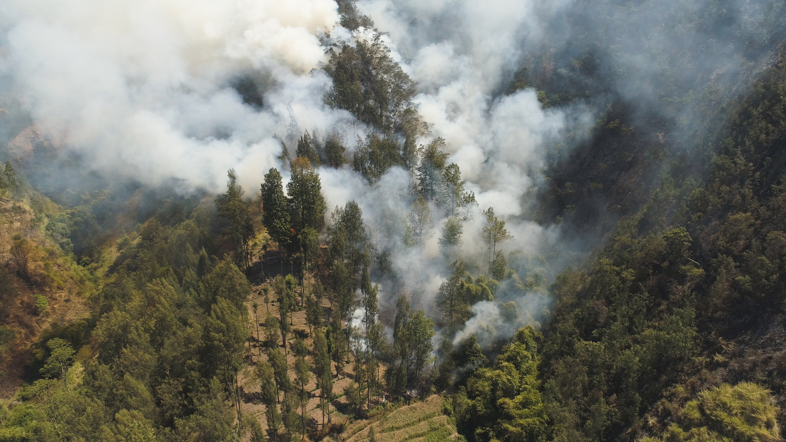
Wildfire Intelligence
Map hotspots and fire edges for ground crew direction
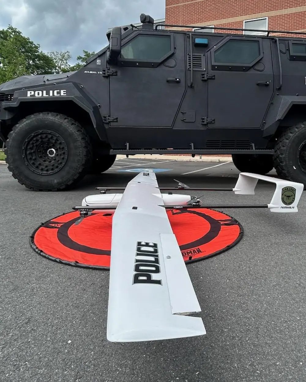
EMRG
Disaster Response
Search & Rescue
Wildfire Fighting