Event38 and Inertial labs partner to bring large scale LiDAR mapping to the drone industry

“The high pulse rate and accuracy of the RESEPI Lidar systems paired with the E455 is a powerful combination giving operators the ability to collect thousands of acres of survey grade data in a single workday” – Jeff Taylor, CEO of Event 38 Unmanned Systems.
Why choose the E455 and RESEPI?

  • Map faster than the traditional multirotor

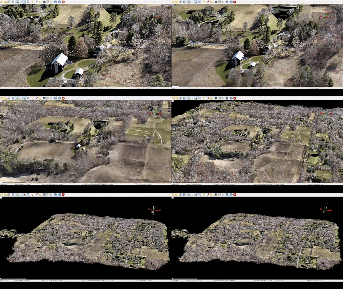
  • Cover areas of over 1500 acres in a single flight

  • Accurate Results at a precision of 2-3 cm

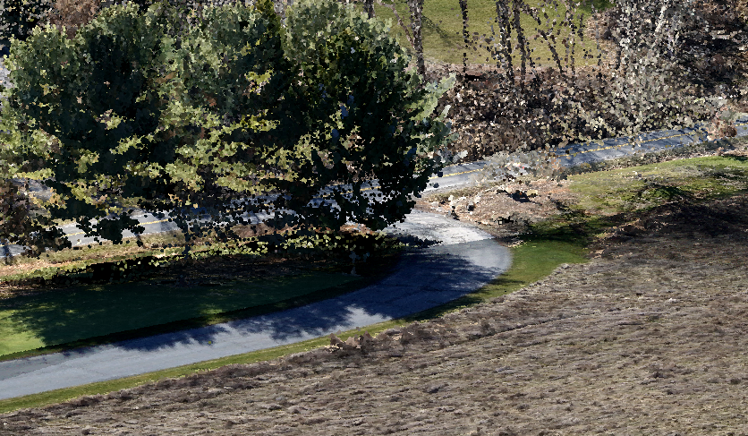
Large Scale colorized DTM creation in a single flight

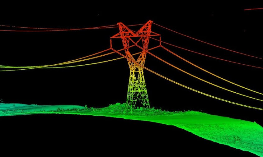
Perform LiDAR Corridor scans and power line inspections

Penetrate dense vegetation for accurate DTMs

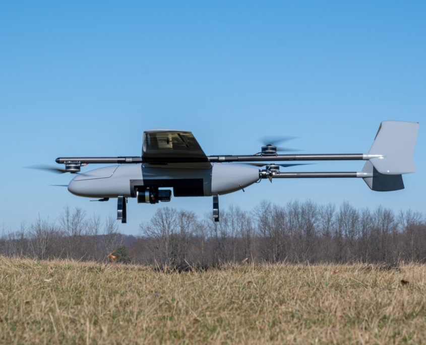
E455 specifications at a glance

  • Nominal Payload 5kbs (2.3kg)
  • Endurance 150 Minutes
  • Cruise speed 39mph (17.5m/s)
  • Airframe Construction (composite carbon fiber)
  • One-way flight range 81 miles (131km)
  • Nominal weight 55lbs (25kg)
  • Max weight 65lbs (29.5kg)
  • Max Payload 15lbs(6.8kg)