Drones for
Conservation
An environmental drone survey refers to the use of a drone to capture aerial data with downward-facing sensors, such as RGB or Multispectral payloads. During a drone survey with an RGB camera, the ground is photographed multiple times and each image is tagged with coordinates.
After flight, these photos are processed in photogrammetry software such as PIX4D or Agisoft Metashape. The photogrammetry software can then recreate geo-referenced 3D maps, contour lines, digital terrain models, or digital surface models to be reviewed in geospatial software such as ArcGIS or QGIS.
A drone flies at the ideal cruising speed and altitude for extremely high-resolution imagery. Airplanes and satellites fly too fast and too high, which means they can't capture the same level of detail.
Drones can capture imagery and GPS data at the same time, giving you more information so you can create a more accurate rendering of the area.
Unmanned aerial vehicles (UAVs) are especially valuable in remote areas, where it might not be safe or feasible to conduct a survey on foot. You can get more comprehensive data with less risk by deploying a drone.
Regardless of where you're working, a drone can capture a comprehensive survey of a given area much faster than a team on foot. The imagery collected from drones can give you valuable insight into the health and changes of a given area.
With drone imagery you can monitor:
Drones can be programmed to fly a flight path that remains clear of restricted areas to protect the most sensitive habitats.
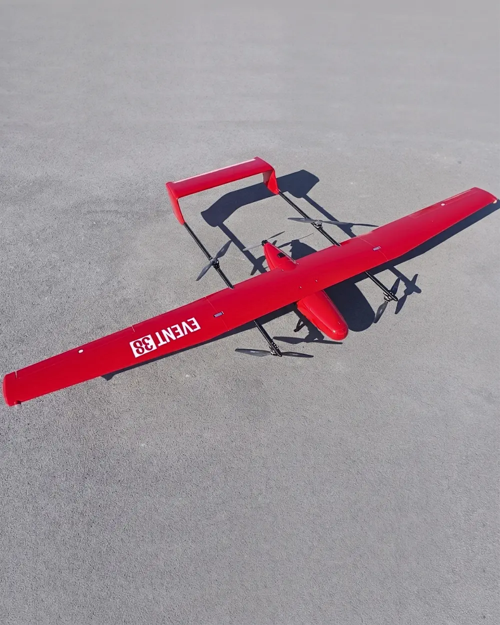
Electric fixed wing drones are much quieter than even much smaller multirotors. Observation and inspection can be performed with minimal interference with the subjects.