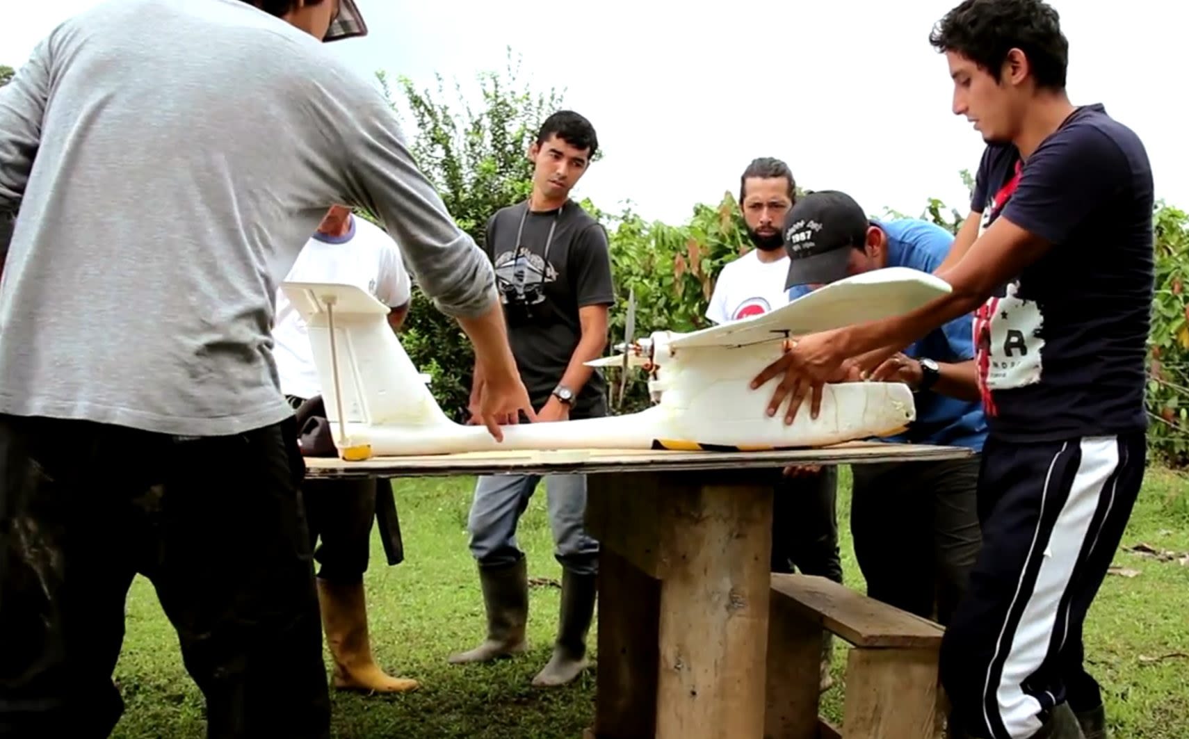
Case Study — Conservation, Ecuador
Drones for
Species
Conservation
Mapping critical habitat for the
critically endangered spider monkey.
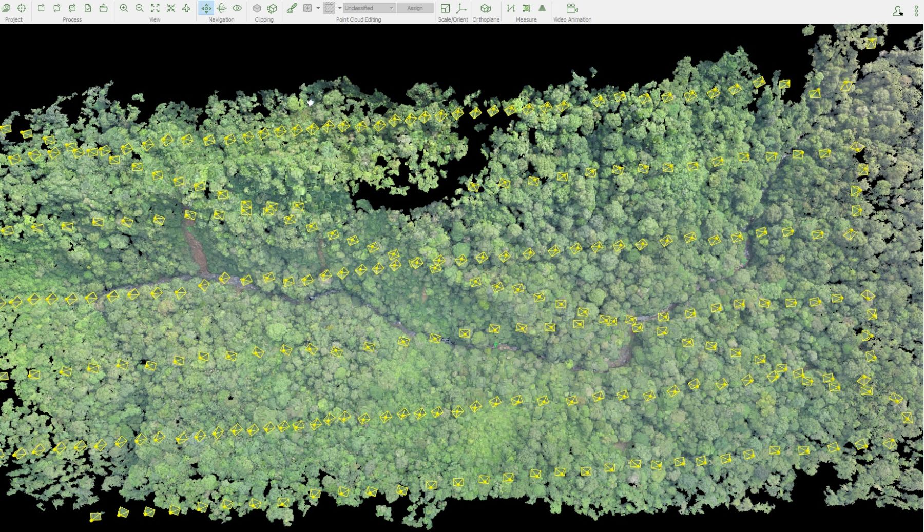
1,000 Hectares Surveyed
Four 250-ha blocks + one 150-ha block, fully mapped
2 Days of Flight
Complete dataset collected in a narrow dry-season window
8 cm GSD
High-resolution orthomosaic across the full survey area
Canon SX 260HS Payload
High-resolution imagery and topographical data collection
<250 Monkeys Remain
Brown-headed spider monkey — critically endangered