Industries — Drone Applications
Surveying & Mapping
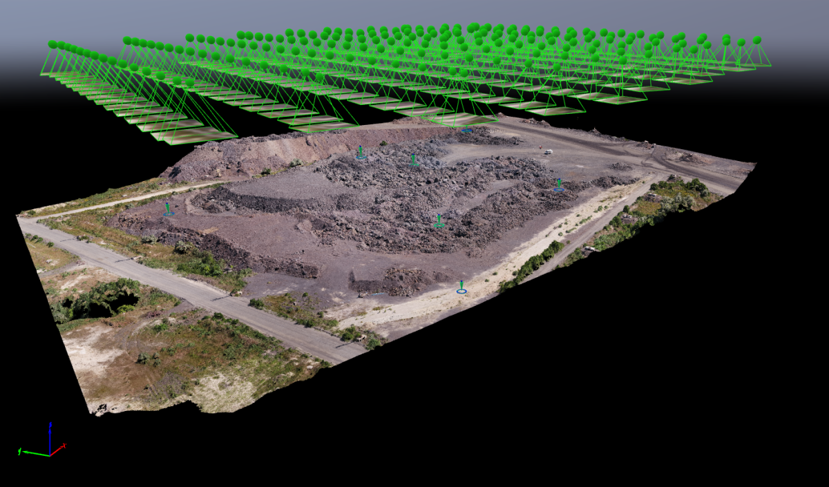
Capture geo-referenced aerial data with unparalleled speed, accuracy, and cost efficiency — and process it into 3D maps, terrain models, and orthomosaics.
Unparalleled Data Collection
Cover large areas in a fraction of the time
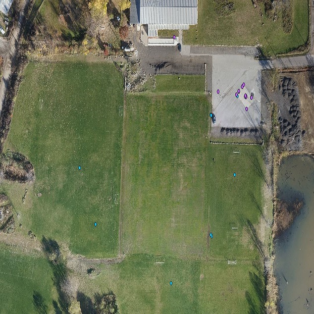
Excellent Positional Accuracy
Down to 1 cm RMS horizontal with PPK GPS
Low Operating Costs
Fraction of the cost of manned aircraft or satellites

PPK GPS Accuracy
3D Mapping
Photogrammetry