The E386 Mapping Drone
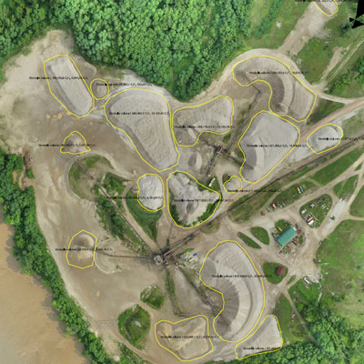
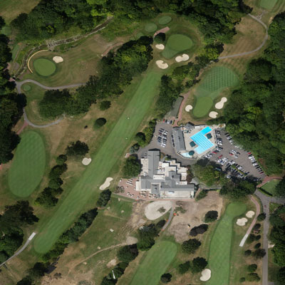
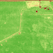
The E386 is one of the leading drones in the world for Agriculture, Surveying, Construction, Mining and Conservation applications.
The E386 has been proven through thousands of hours of flight from hot and humid jungles to freezing mountains above 13,000 feet. It can fly 850 acres in 85 minutes at 3.7cm GSD completely autonomously. The E386 operates according to a pre-planned mission from takeoff the touchdown, or you can use the hand remote control to take over control at any time. The E386 can be flown completely from the ground control station, and does not require any manual control to use.
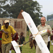
This package is customizable depending on your application. If you’re not sure what you need, contact us and we’ll walk you through the options and special considerations for your project. Each E386 is flight tested, and a dedicated support engineer is available to help you get set up and flying.