Case study: Planning for Hydroelectric Dam Construction with Drone Technology.
Our customer, a land surveyor in South Africa, was hired to survey a river valley in western Uganda. Their client wanted to assess the feasibility of building a hydroelectric powerplant in the area and study the environment and social impacts of such a project.
Our customer was focused on an area of land that measured seven kilometers by three kilometers, with a 350-meter variance in elevation. This region of Uganda is near the eastern slopes of the Rwenzori Mountains, close to the Congolese border. The terrain is mountainous, the climate is rainy, and the vegetation is thick. The area to be surveyed also included farmland for coffee, cassava, and plantains. Between the mountains, the farmland, and the river itself, travel throughout the area was challenging.
The area was also very remote, which posed additional barriers to establishing a control coordinate system. There were no global reference markers for 200 kilometers, so our customer had to complete a ground survey and post-process raw GPS data. During the ground survey, the surveyor placed 25 GPS control points throughout the area.
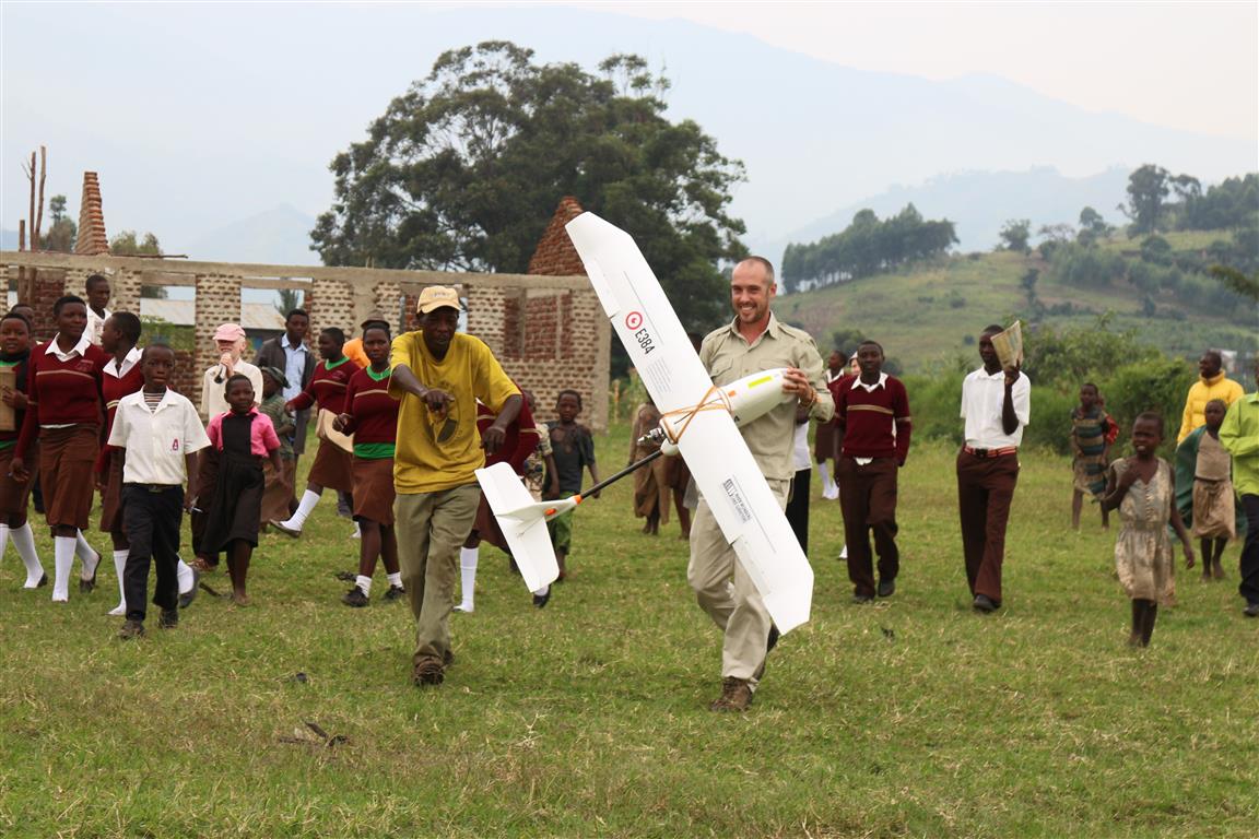
Our customer brought an E384 with a Canon S100 to a local schoolyard for launch. The E384 was programmed with a custom flight plan to account for the dramatic elevation changes through the region. An image was captured and geo-tagged every three seconds.
The E384 flew 56 kilometers in 1.3 hours and recorded 1700 images. Our customer estimated that capturing that much data on foot would have taken upwards of two hundred fifty hours. The E384 did it in about 0.5% of that time.
Reviewing the data showed that the surveyor’s control marks were clear and accurate, and the margin of error in image geo-tags never surpassed three centimeters over an area that measured seven kilometers by three kilometers. Very few images had to be discarded due to quality. The surveyor was also able to identify areas that needed additional manual survey and easily integrate ground and aerial data through post-processing.
How an Event 38 drone made land survey feasible.
- Time: Our customer’s client was expecting a report in three months. Thanks to the E384, our customer delivered in just 29 days, to the shock and delight of their client.
- Cost: Without a drone, our customer may have had to hire an airplane or helicopter to capture aerial data. This would have made the survey too expensive to be practical. The E384’s affordable price tag made the study possible.
- Accessibility: Because the terrain was so treacherous, it would have been very difficult to get a comprehensive survey on foot. The E384 provided a much safer option with far less risk of a sprained ankle.

