Drones for Conservation of Endangered Species
Monitoring and protecting endangered species with drone technology
Our customer, a conservation group in Ecuador, was looking for an efficient way to analyze large areas of land. Their primary focus was identifying areas where the brown-headed spider monkey could live.
Brown-headed spider monkeys are very important to the ecosystem of Ecuador. They eat mostly ripe fruits, which means they have to cover a lot of ground to get enough food. One monkey can travel anywhere from 500 meters to five kilometers in a single day. Because they’re so mobile, they play a big role in spreading seeds for many native tree species.
Unfortunately, brown-headed spider monkeys are critically endangered. Some experts estimate that fewer than 250 of them remain in the wild, and most of those live in Ecuador.
Climate challenges of traditional land surveying.
Our customer wanted to collect detailed topographical data from the region of northwest Ecuador where the monkeys primarily live. There were two environmental considerations that made this objective challenging:
- This particular region of Ecuador gets over 6000 millimeters—nearly 20 feet—of rain every year. And the dry season is very, very short: July and August are the only two months when a drone could conceivably fly over this area.
- The spider monkey’s relatively large range—90 to 250 hectares—makes them harder to monitor than a species that keeps to a smaller area.
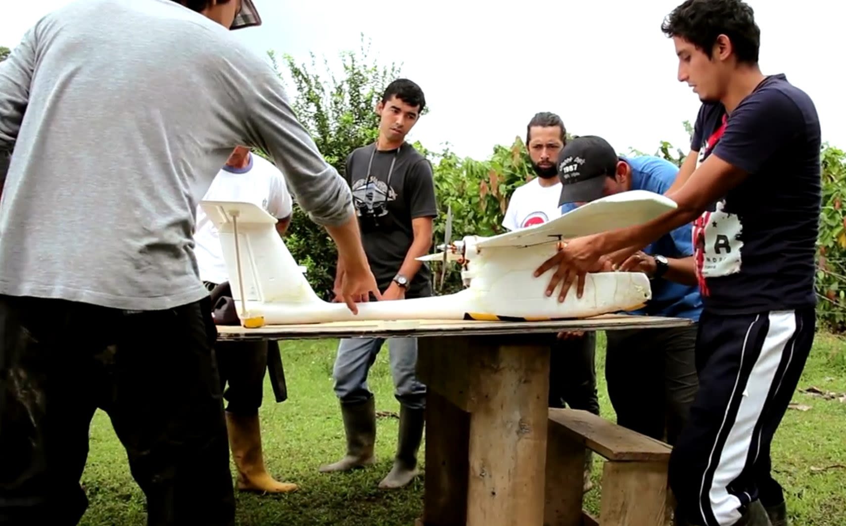
With a lot of land to survey and not much time to do it, our customer needed an efficient solution. They purchased an E384 drone from Event 38. The E384 was outfitted with a Canon SX 260HS to capture high-resolution images and topography data.
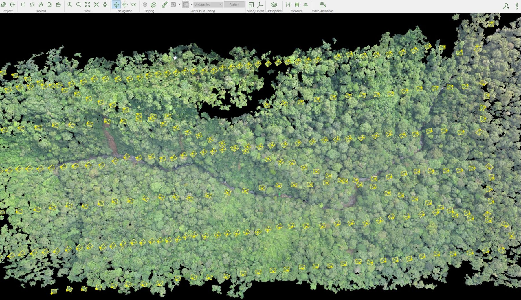
The E384 was programmed to cover four 250-hectare blocks and one 150-hectare block for each flight. Over the course of two days, the E384 collected massive amounts of data. That data was used to create an orthomosaic of the 1000-hectare area with a ground sample distance (GSD) for eight centimeters.
How unmanned aerial systems (UAS) support conservation efforts.
The E384 gave our customer a few specific advantages:
- The topographical model created from E384 data gave the researchers more visibility in specific areas that would have been difficult or even impossible to survey on foot. This means a more accurate and complete picture of the spider monkeys’ habitat.
- A traditional survey would have taken much longer to gather so much data. The E384 did it in two days. With such a short window of time, this level of efficiency is invaluable.
- The E384 is an affordable solution. By spending less money on data collection, our customer is able to spend more money on direct conservation efforts.


