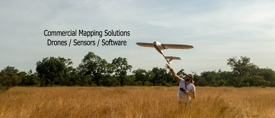
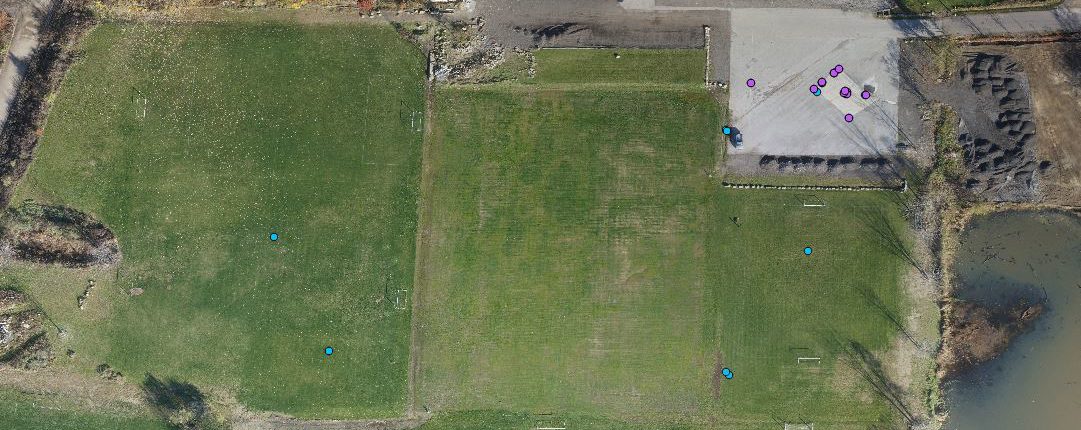
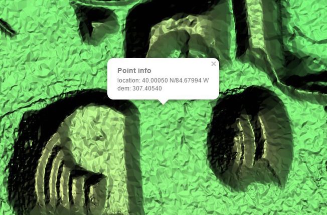
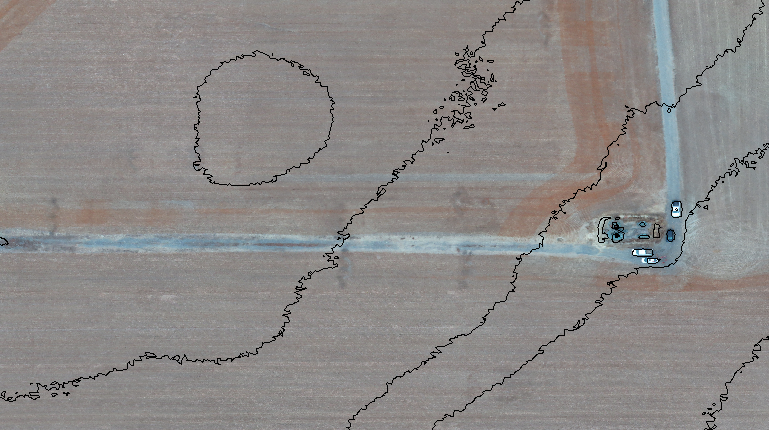
Drone

There are three main factors to consider when picking the drone for your project. It must be able to carry your desired sensor package, it must be able to operate within the restrictions of your environment, and it must be able to cover your entire work area in a reasonable number of flights.

Choosing a Drone


A drone needs to work reliably in your environment in order to provide useful data. Vertical Takeoff and Landing (VTOL) operates from confined spaces without external launch or recovery equipment. The operator can takeoff and land the aircraft anywhere without belly landing, mitigating the risk of damaging the aircraft itself or its payload. A VTOL aircraft is ideal for search and rescue operations, areas with dense forestry, and wildfires among others.

Weather conditions can significantly affect the operations of small unmanned aircraft. Strong prevailing wind or wind gusts can reduce performance or the quality of collected imagery. Just as with manned aircraft, high altitude, heat and humidity affect performance and efficiency. Plan for longer ascents and shorter flights when flying in these conditions.


E384 – Best ValueE386 – Parachute RecoveryE400 – Vertical Takeoff
MaterialFoamFoamCarbon Fiber
Mapping Coverage (5cm/pixel, 60/60 Overlap/Sidelap)1000 acres850 acres1000 acres
Infrastructure RequirementTakeoff: None
Auto Landing: 120x30m Cleared Space
Operator Landing: 40x15m Cleared Space
Takeoff: None
Parachute Recovery: 30x30m Cleared Space
Vertical takeoff and landing in 12×12′ cleared space
Sensor OptionsR10C, RedEdge-M, Sequoia, FLIR, PPKR10C, RedEdge-M, Sequoia, FLIR, PPKSony A6300, Micasense, FLIR, RX1R II, EO/IR
Special FeaturesHighly ConfigurableParachute RecoveryVTOL
Starting At$5,990$8,990$18,900

Sensor

Sensor choice depends on the application. For mapping and surveying, a high resolution optical sensor with low distortion lens is usually desirable.

Choosing a Sensor

The sensor determines the quality and type of data collected by your drone. For creating orthomosaics and digital surface models, picking a high resolution optical sensor like the R10C or RX1R II with a low distortion lens results in the highest quality results for surveying purposes. The R10C can collect data in the landscape orientation and automatically geotag its images, so it is particularly efficient for high productivity teams.

Other sensors are available for specialty applications. Converted NDVI cameras can collect NDVI imagery for crops at a reasonable cost. Multispectral sensors like the Parrot Sequoia and Micasense RedEdge offer fully calibrated NDVI data at a higher cost. The benefit of adding calibration to NDVI sensors is that it allows absolute NDVI values to be compared day to day and between different fields and seasons while an uncalibrated sensor can only make comparisons within a single flight.

Thermal sensors from FLIR are also available. Thermal imagery is typically very low resolution but can be useful for a variety of applications in agriculture, construction and inspection.

Processing

In flight, your drone will collect hundreds or thousands of individual images. It’s then up to you to process that data into an orthomosaic and digital elevation model. Event 38 can recommend appropriate software options depending on your sensors and typical mission.